A Journey from Norðvegr to Vinland
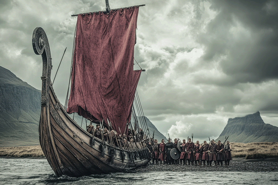
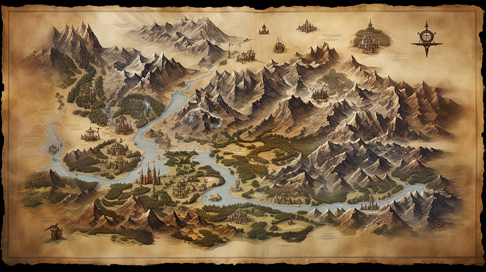
When the image of a Viking longship glides across a frothy Atlantic, it’s easy to imagine a crew hunched over parchment, tracing routes with ink‑filled quills. In reality, there is no archaeological or textual evidence that Norse explorers ever carried cartographic drawings or paper maps. Their “navigation manuals” were the sky, the sea, and a string of stories passed down through generations.
“The Norse had no maps in the modern sense; they read the world with the eyes of a bird and the memory of an elder,” writes maritime historian Dr. Ingrid Sjöberg.
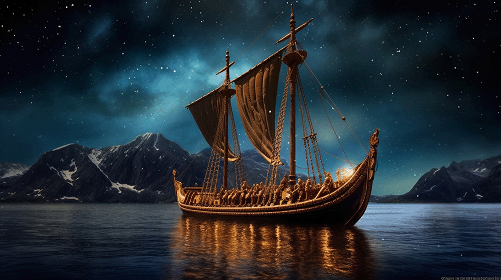
Instead of flat, grid‑like charts, the Vikings relied on a combination of celestial cues, simple instruments, and a robust oral tradition that functioned like a living, breathing map.
The Sun, the Stars, and the Sun‑Compass
At sea, the sun’s arc across the horizon was the most reliable compass. By noting the sun’s height at noon, a sailor could estimate latitude—a technique later refined by Arab and Chinese navigators. For night voyages, the North Star (Polaris) served as a steadfast beacon, its fixed position above the celestial pole allowing mariners to maintain a steady heading.
Some scholars suggest the Vikings possessed a rudimentary sun‑compass, a polished bronze disc with a central pinhole that projected a tiny sun‑spot onto the surface. By aligning the spot with engraved lines, a navigator could determine direction even on overcast days. While no physical examples have survived, references in the Heimskringla and the Saga of Erik the Red hint at such tools.
““Even a cloudy sky could not blind a Viking who trusted the shadow of his own device,” notes archaeologist Lars Østergaard.
Oral Maps: Routes as Stories
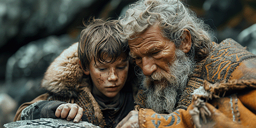
The true backbone of Norse navigation was the oral transmission of routes. Sagas, skaldic poetry, and everyday storytelling doubled as way‑finding manuals. A young rower would sit by the hearth and listen to his father recount the “path of the raven,” a sequence of landmarks stitched together like beads on a string. These narratives were more than romantic tales; they encoded practical details—distance measured in days of rowing, the location of safe harbors, where wind patterns shifted, and where sea ice lingered. Each retelling reinforced the memory, ensuring that even a crew with no written guide could follow the same invisible line across the ocean.
The “Stepping‑Stone” Voyage to Vinland
The saga of the Norse heading west from Norðvegr (modern Norway) to Vinland (the mysterious “land of grapes” on North America) illustrates how these oral maps and practical considerations shaped the journey.
Norðvegr → Faereyjar (the Faroe Islands)
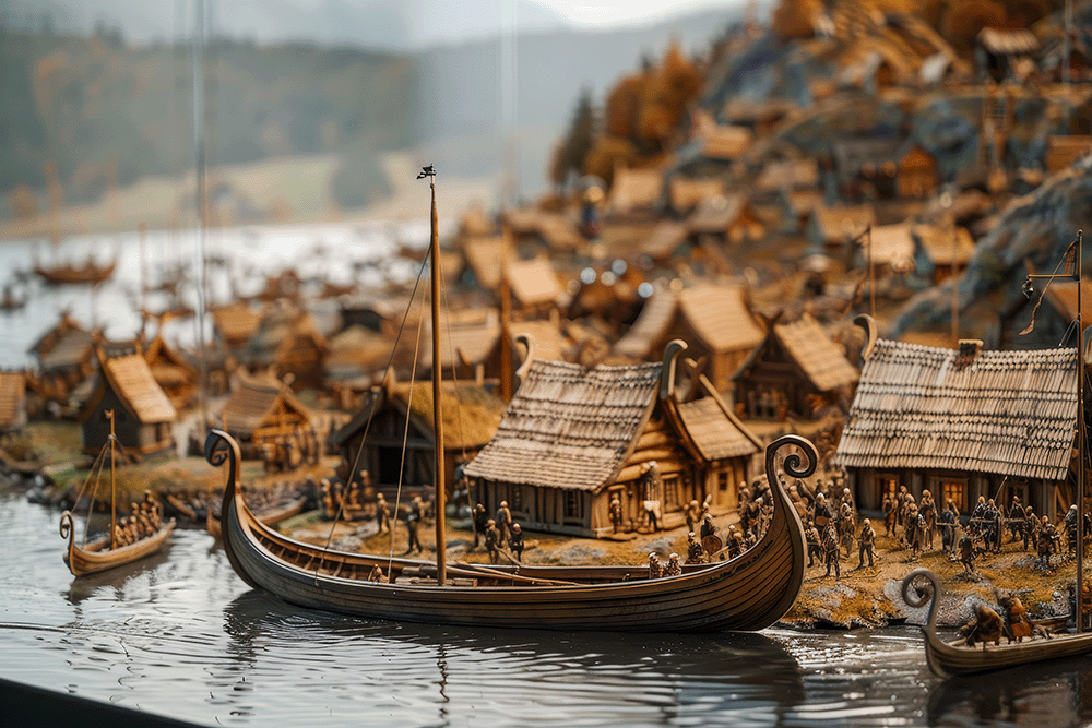
The Faroe archipelago served as the first “pit stop” after leaving the familiar coasts of Norway. Its sheer cliffs and sheltered bays offered protection from sudden squalls, and its grazing lands allowed crews to restock on fresh meat and wool.Faereyjar → Garðarshólmur (Greenland’s “Garðar’s Islet”)
From the Faroes, the route turned southwest toward Garðarshólmur, a small outpost on the rugged east coast of Greenland. Here, longships could undergo essential repairs; the abundant driftwood—rare in Greenland—was a lifeline for hull maintenance.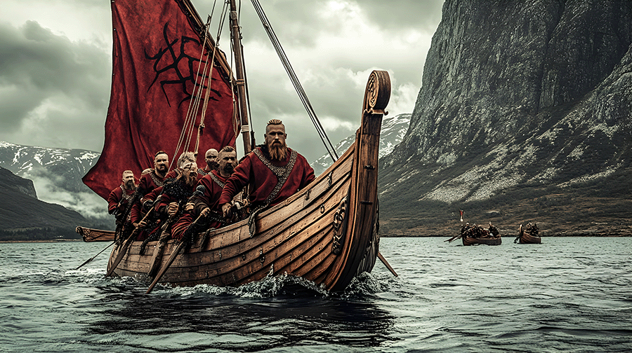
Garðarshólmur → Grœnland (Greenland)
The long stretch across the open Atlantic was no accident. By breaking the voyage into manageable legs, crews could take advantage of prevailing westerlies, stopping at known “stepping‑stones” when the wind faltered. Rowers, often numbering dozens, provided the extra thrust needed when sails were rendered useless by calm seas.Grœnland → Vinland
The final leg from Greenland to Vinland was the most daring, yet it followed a pattern the Vikings had rehearsed for centuries. The sight of distant land—first a faint line of pine or the salty tang of kelp—signaled the end of the long trek.“Every island was a bookmark in the Viking’s mental atlas,” writes scholar Einar Thorsson. “They didn’t need paper; they had memory, and they had each other.”
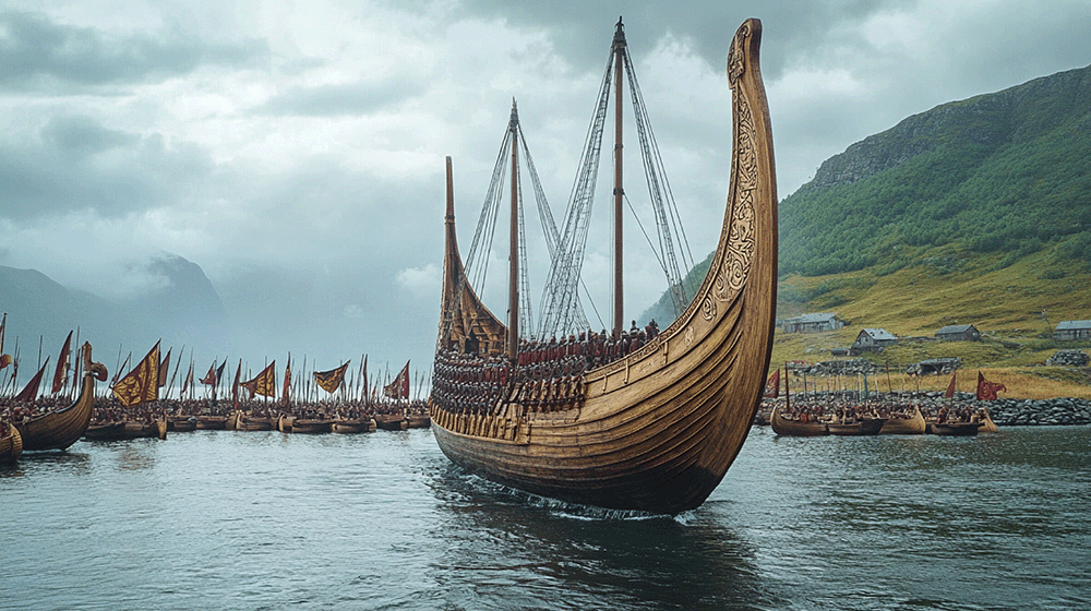
Why the Stops Matter
Beyond navigation, these intermediate stops served three vital purposes:
Resupply: Fresh water, meat, and timber were scarce on a small wooden vessel. The Faroe Islands and Greenland’s coastal settlements provided the necessary provisions to keep crews healthy.
Repair: Saltwater is relentless. A breach in the hull could mean disaster. Docking at known harbors allowed shipwrights to replace planks, seal leaks, and replace worn oars.
Rest: Even the hardiest Vikings needed sleep. Longships, though fast, were cramped. A brief shore‑leave gave sailors time to stretch, tend to personal affairs, and share news—keeping morale high for the next leg.
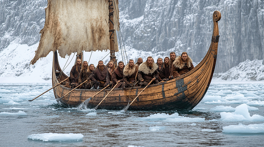
The Legacy of a Map‑Free Age
The Norse voyages demonstrate that sophisticated navigation does not require paper maps. By reading the heavens, mastering simple tools, and embedding routes in story, Viking sailors traversed the North Atlantic long before the Age of Exploration ushered in printed charts. In today’s GPS‑driven world, it’s tempting to dismiss oral tradition as antiquated. Yet the Viking example reminds modern travelers that the most reliable compass can be the one carved into collective memory.
“If you ask a Viking how he found Vinland, he’ll point to the stars, the sun, and his father’s tales—no parchment needed,” concludes Dr. Sjöberg with a smile.
The next time you gaze at a star‑filled horizon, think of those ancient mariners who trusted the same lights to guide them across an ocean of unknowns, turning stories into the most enduring maps any explorer could ever need.